Support in the implementation and management of a geographical information system (GIS)
Context
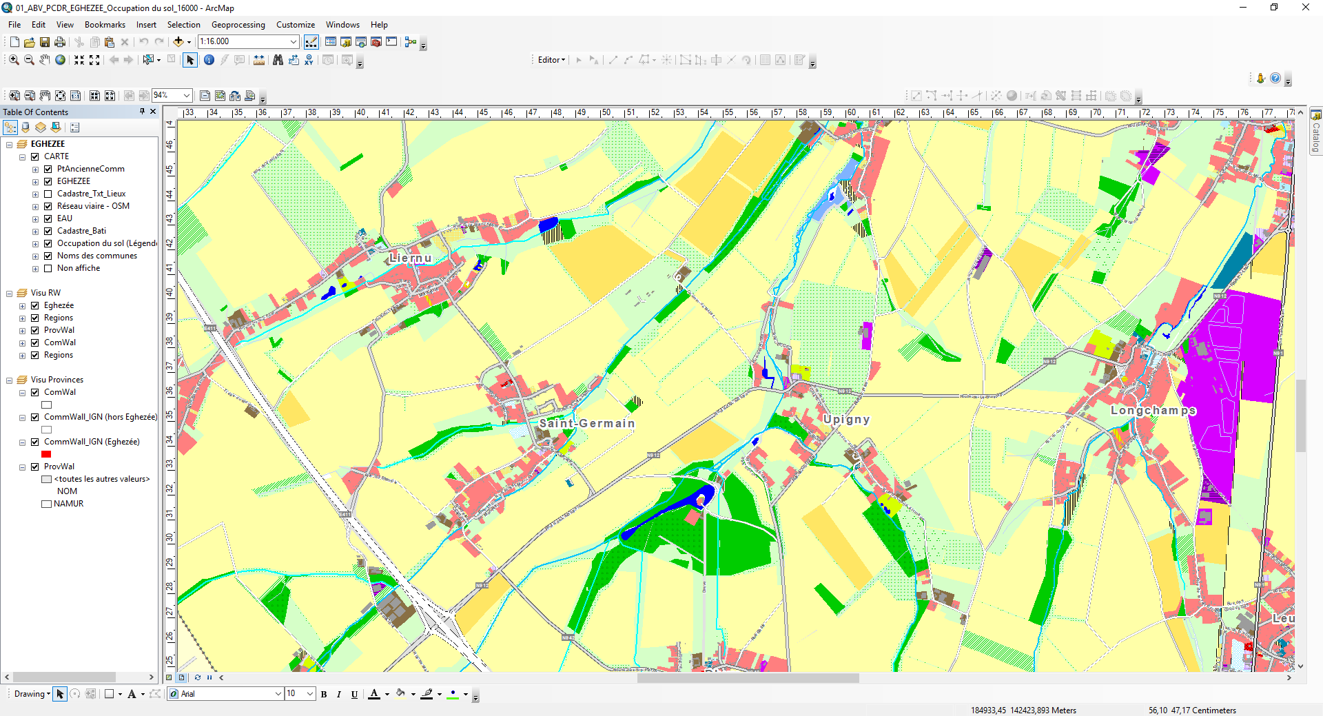
In their daily tasks, the various municipal services (living environment, town planning, environment, mobility, etc.) are required to process qualitative and quantitative data associated with their territory. The management, processing and formatting of these data is facilitated by the use of a geographical information system.
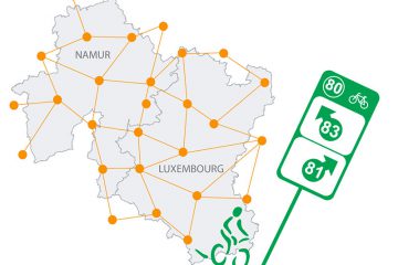
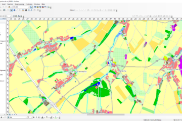
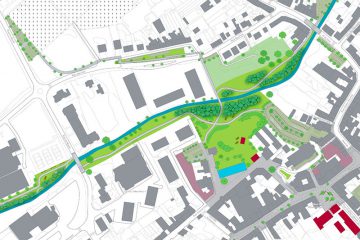
Source : ICEDD
Objectives
The objective of these missions is to set up a geographical information system within the municipality to facilitate the day-to-day management and use of data and to train staff in the use of the software.
Execution
As part of these missions, ICEDD:
- Handles the installation, updating and proper functioning of the mapping software;
- Retrieves and processes the land register matrix to make it accessible in the software;
- Ensures the availability of up-to-date data useful to the various municipal services (various areas);
- Creates specific tools for users;
- Trains the municipality’s internal users;
- Remains available to municipalities in order to respond to needs and emergencies as quickly as possible.